How Construction Sites Use Drone Monitoring to Cut Costs
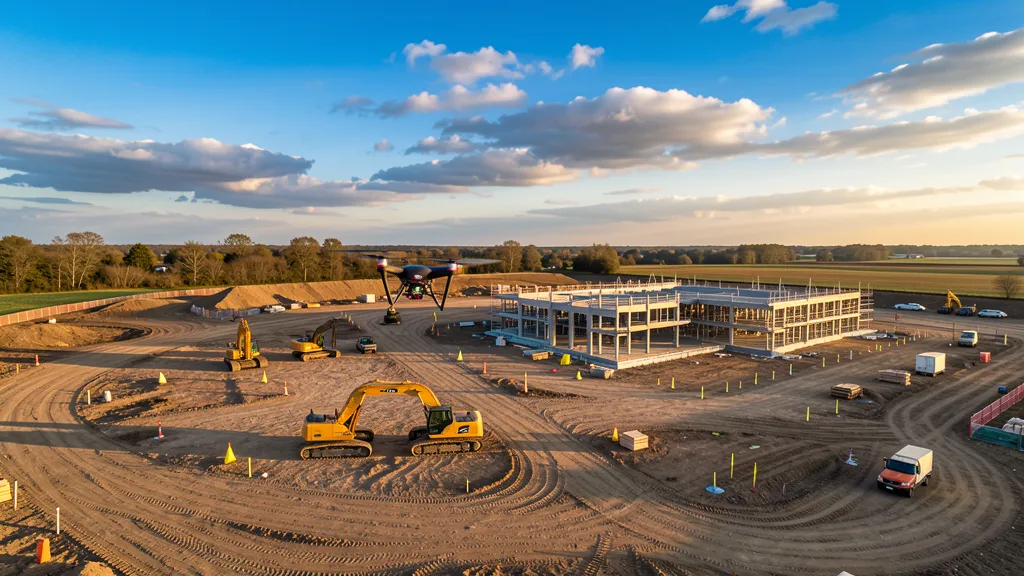
Construction drone monitoring has shifted from a nice-to-have to a line-item necessity on well-managed job sites in 2026. The math is simple: a traditional ground crew bills $800 to $2,500 per visit and takes a day or two to deliver results, while a drone crew flies the same site in 20 to 40 minutes and delivers processed orthomosaics and 3D models the same day for $99 to $199 per model in-house. For a general contractor running eight active sites with monthly data collection needs, that swap saves $60,000 to $150,000 annually — and that is before counting the rework it prevents.
If you are a project manager or estimator evaluating whether construction drone monitoring makes sense for your next project, this guide breaks down the real costs, the real savings, and the workflows that deliver measurable ROI.
What Construction Drone Monitoring Actually Delivers
Before the cost breakdown, here is what a drone monitoring program actually produces. Four core deliverables replace slower, more expensive manual processes:
Georeferenced orthomosaics are distortion-corrected aerial maps assembled from hundreds of overlapping drone photos — a high-resolution, on-demand satellite image of your site.
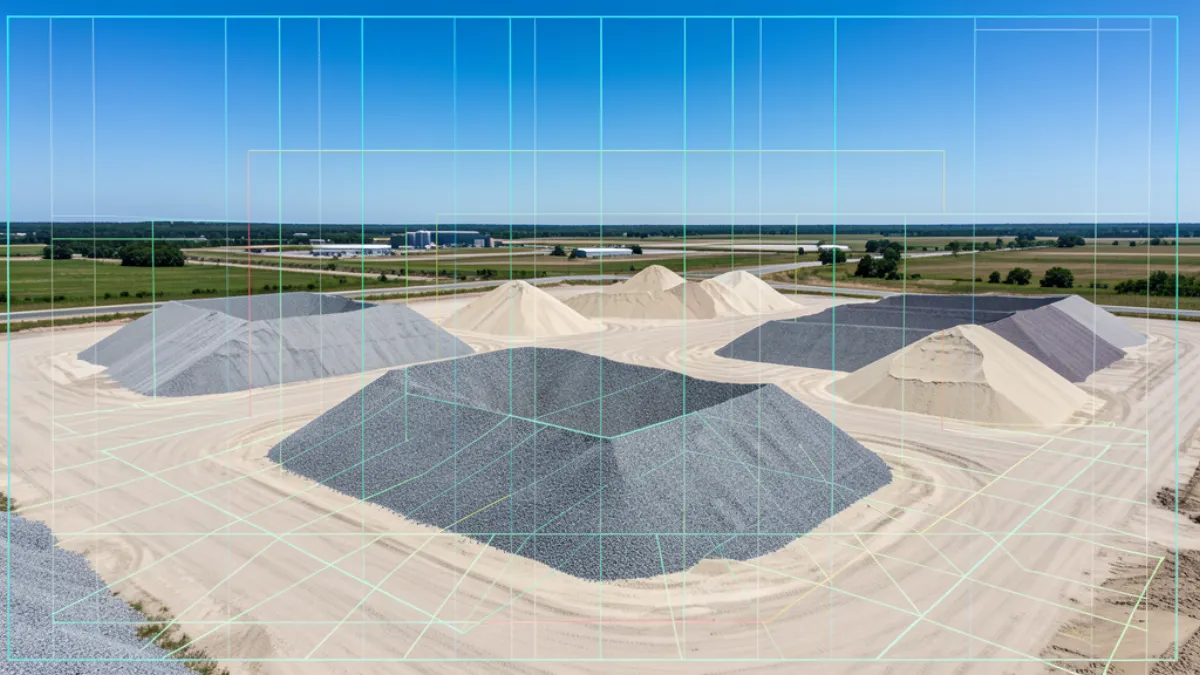
3D point clouds and mesh models add elevation data, letting engineers compare earthwork against design grades and calculate material volumes without walking the site. For cut-and-fill tracking, this is where the money is.
Cut-and-fill volumetric calculations show how much material moved between flights. On a 20-acre site, a weekly flight can catch a 500-cubic-yard grading deviation before it becomes a 5,000-yard problem at punch list.
Timestamped progress documentation produces a date-stamped aerial record — critical when a client disputes whether work was completed on schedule.
The Real Cost of Drone Construction Monitoring in 2026
Let us talk actual dollar figures. Construction drone monitoring costs depend on whether you are hiring a third-party service provider or running an in-house program.
Third-party drone service providers typically charge $250 to $600 per hour for construction and aerial imaging work, or $500 to $1,500 per day. A monthly progress monitoring package for a single mid-size commercial site usually runs $1,200 to $3,000 per month, including weekly flights, orthomosaic delivery, and a progress report. For a 50-acre commercial development with weekly flights over a 12-month build, that is $14,400 to $36,000 for the full program.
In-house drone programs cost significantly less once the initial investment is recovered. A starter kit — one commercial-grade drone ($1,500 to $3,000), Part 107 certification for one operator ($150 exam fee), and an annual cloud processing subscription ($1,908 to $4,188 for platforms like DroneDeploy) — carries an all-in first-year cost of roughly $3,000 to $7,000. After that, each processed model costs $99 to $199 in software processing fees. For a GC that was previously ordering four third-party data collection visits per month at $1,000 per visit, that investment is recovered in five to six weeks of in-house operations.
The global drone construction monitoring market reflects this shift. Demand is projected to grow from $470 million in 2026 to $1.72 billion by 2036, driven by general contractors moving from pilot programs to standard practice.
How Drone Monitoring Cuts Construction Costs: Four Key Areas
A ground-based data collection crew covering a 5-acre active site typically requires four to eight hours of field time plus one to two days of office processing. A drone construction data collection of the same site takes 20 to 40 minutes of flight time and produces processed orthomosaics and 3D models the same day — a 70 to 90% reduction in total data collection cycle time. One construction manager on a renewable energy project described it on a contractor forum: they run aerial imaging flights on every project, loading the 3D BIM model into processing software to compare as-built conditions against design in near real-time. Grading errors that used to take weeks to discover now surface within days, while the correction cost is still minimal.
For projects in regions with compressed build seasons, this speed compounds. On a site in Minneapolis where winter weather shrinks the construction window, losing two weeks waiting for a ground-based data collection can push earthwork past the frost line. A same-day aerial imaging keeps the schedule intact.
2. Labor Cost Savings: $60,000–$150,000 Annually
The labor math is straightforward. Third-party data collection crews for mid-size commercial projects bill $800 to $2,500 per visit depending on scope and mobilization distance. An in-house drone operator using a consumer-grade aircraft and a cloud subscription delivers equivalent documentation for $99 to $199 per processed model.
For a GC running eight active sites and ordering monthly aerial imaging flights, the shift to in-house drone construction monitoring reduces data collection spend by $60,000 to $150,000 annually. Even if you hire a third-party provider instead of going in-house, weekly drone flights at $300 to $600 per visit still come in below the cost of two ground-based data collection visits per month at $1,200 to $2,500 each.
A person experienced in construction estimating on a contractor forum noted that their mid-size GC operation, doing roughly $100 million per year in revenue, switched from monthly ground-based data collection to weekly drone flights across all active sites. The annual data collection budget dropped from $96,000 to $31,200 — a 67% reduction — while simultaneously increasing data collection frequency from 12 times per year per site to 52 times.
3. Rework Prevention: Catching Errors While They Are Still Cheap
Construction rework consumes 5 to 15% of total project costs. On a $10 million build, that is $500,000 to $1.5 million. Drone-generated as-built comparisons — run against design drawings at each milestone — catch out-of-tolerance work while correction is still cheap. Catching a misaligned footing during framing costs a few hours of labor; catching the same error at punch list can trigger structural remediation costing tens of thousands.
A commercial developer used drones to monitor renovation of a 20-story office building. Inspection time dropped by over 60%, labor costs fell nearly 30%, and 3D models enabled early detection of structural issues — a 25% overall ROI improvement.
For construction monitoring services with weekly as-built comparison, the payback is often a single avoided rework event. On a 50-acre site, catching one 2,000-cubic-yard grading deviation at week three instead of week twelve saves $15,000 to $40,000.
4. Dispute Resolution: Drone Data as Contract Evidence
The most underdiscussed cost saving from drone monitoring is its value in dispute resolution. A single change order disagreement can stall a site for days, and litigation over earthwork quantities can cost more than the disputed amount.
Drone data changes this. With a weekly aerial record of site conditions, stockpile volumes, and completed work, all parties share a timestamped visual reference. If a client claims you missed a deadline, you have the orthomosaic. If a subcontractor disputes material moved, you have the volume comparison.
An earthwork contractor shared this scenario: a client's plans underestimated how much dirt needed to move. The contractor had been flying weekly since day one. When the client pushed back on the change order, the contractor pulled up volume comparisons showing 3,200 cubic yards of additional material moved beyond the original bid. The change order was approved without dispute — avoiding what could have been a weeks-long disagreement with machines sitting idle.
For projects with complex earthwork, volumetric analysis derived from aerial imaging flights provides the documentation backbone for payment verification and contract compliance. Owners and general contractors increasingly specify weekly aerial documentation in project agreements as a risk management tool.
The ROI Math: When Does Drone Monitoring Pay for Itself?
A fleet of one or two drones paired with cloud processing software typically pays back within three to six months — often on the avoided cost of a single rework event. Here is the breakdown for a typical mid-size GC:
First-year investment: $3,000 to $7,000 (drone, certification, software subscription).
Avoided data collection costs: $60,000 to $150,000 annually (eight sites, monthly to weekly cadence).
Avoided rework (conservative): $15,000 to $40,000 per caught error, with one to three caught errors per year.
Payback period: 5 to 8 weeks for in-house programs; 3 to 6 months for third-party service contracts.
The numbers are not theoretical. Across multiple documented case studies, the adoption of drone technology in construction has led to a 50 to 60% reduction in inspection time, labor cost savings between 20 and 30%, and overall project ROI improvements of 15 to 25%.
Getting Started with Construction Drone Monitoring
For contractors considering the shift, the entry path is simpler than it was two years ago. A commercial-grade multirotor ($1,500 to $3,000) and a cloud processing subscription are enough to start generating weekly orthomosaics and 3D models. If you prefer to outsource, providers including AeriusView offer monthly monitoring packages covering flight operations, processing, and deliverable distribution.
The key is consistency. A single drone flight tells you what the site looks like today. Weekly flights tell you a story — and that story is where the cost savings live: in the deviation caught early, the change order backed by data, and the data collection bill that never got sent.
Ready to get started? Contact AeriusView to discuss your project and get a quote for weekly drone monitoring tailored to your site.
Need an Operator?
Get matched with FAA-certified aerial mapping professionals in your area. No cost, no obligation.
Get a Free QuoteFind a Drone Operator in Your Area
We connect project managers with FAA-certified drone operators across 15 states. Browse our location pages to find local aerial mapping services near you.
Browse All Locations