Aerial Data Acquisition Services from FAA-Certified Local Experts
We connect you with FAA-certified drone operators in your area. From topographic mapping to roof inspections, get precise aerial data delivered fast — by local experts who know your airspace.
Get a Free Quote
Tell us about your project. A local drone operator will contact you within 2 business days.
Aerial Data Services
Comprehensive aerial data services for construction, real estate, environmental, and infrastructure projects. Each category connects you with specialists in that field.
Topographic Data Collection
High-resolution terrain data for construction, engineering, and development.
Learn more →Drone Inspection
Safe, efficient inspections of bridges, roofs, utilities, and infrastructure.
Learn more →LiDAR Scanning
Precision 3D terrain models with advanced LiDAR technology.
Learn more →Environmental Monitoring
Vegetation health, water quality, and wildlife habitat assessment.
Learn more →Aerial Imagery
High-resolution aerial photos for documentation and planning.
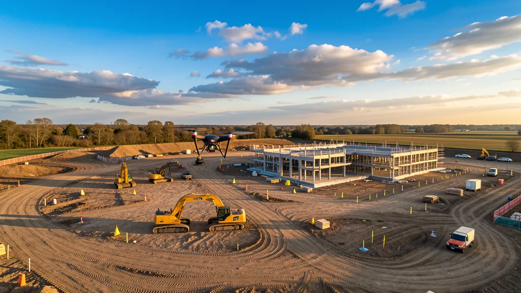
Learn more →Construction Monitoring
Track progress, identify issues, and optimize resource allocation.
Learn more →Real Estate Photography
Stunning aerial photos and video for property listings and marketing.
Learn more →Roof Inspection
Detailed roof condition reports without the need for ladders or scaffolding.
Learn more →Volumetric Analysis
Stockpile volume measurement, cut/fill calculations, and aggregate inventory tracking.
Learn more →Mining Data Collection
Mine site data collection, pit mapping, tailings monitoring, and safety inspections.
Learn more →Multispectral Imaging
Crop health analysis, NDVI mapping, and vegetation indices for agriculture.
Learn more →How It Works
Three simple steps from project request to professional results. No upfront cost, no obligation.
Submit Your Request
Tell us about your project — service type, location, and timeline. Takes 60 seconds, no obligation.
Matched with Local Operators
We route your request to FAA-certified drone operators in your area who specialize in what you need.
Get Quotes & Choose
Matched operators contact you within 2 business days. You compare quotes and pick the right fit. No cost to you.
Why Choose Aerius View?
We're not a drone company. We're a marketplace that connects you with the best local operators — vetted, certified, and ready to work.
Vetted Professionals
Every operator in our network holds FAA Part 107 certification and is reviewed before joining. We check credentials, equipment, and experience.
Fast Turnaround
Your matched operator contacts you within 2 business days. Most projects are completed within a week of first contact.
No Cost to Get Quotes
Submit your project request for free. You only pay the operator you choose — we never charge you for the matching service.
Local Experts
Our operators know your local airspace, regulations, and permitting requirements. They fly in your area regularly — not just passing through.
Comprehensive Services
From topographic data collection to roof inspections, our network covers 11 service categories. One request, the right specialist.
Safe & Compliant
All flights follow FAA regulations under 14 CFR Part 107 and airspace restrictions. Licensed pilots, insured operations, proper documentation on every project.
Compliance Standards
All operators in the Aerius View network operate under FAA Part 107 (14 CFR Part 107) commercial drone rules. Deliverables meet ASPRS accuracy standards for photogrammetry and LiDAR. Operators carry minimum $1M liability insurance and maintain current FAA Remote Pilot Certificates.
Built for Project Teams
Construction managers, developers, and engineers use Aerius View to find the right drone operator fast.
"We needed topographic data for a 40-acre site in Buckeye. Submitted a request on Monday, had an operator on site Wednesday, and deliverables by Friday. The whole process was painless."
"I was tired of calling drone operators who didn't serve our area. Aerius View matched us with someone local who already knew the airspace restrictions near the airport. Saved us weeks."
"The roof inspection quote came back same-day. The operator had thermal imaging equipment, which we needed for an HOA roof condition report. Would have taken me hours to find that on my own."
Free Resources
Guides, tools, and references to help you make informed decisions about aerial data services.
Buyer's Guide PDF
Complete guide to hiring a drone operator. Credentials, questions, deliverables, accuracy specs, cost benchmarks, and red flags. 14 pages.
Download Free →Cost Calculator
Instant aerial data cost estimates by service type, acreage, and state. Free, no signup required.
Estimate Now →Drone Data ROI Calculator
See how much you save switching from traditional ground methods to aerial imaging.
Calculate ROI →Glossary
Plain-English definitions of aerial data terms. Orthomosaic, LiDAR, GSD, RTK, point cloud, and more.
Browse Terms →Are You a Drone Operator?
Join our contractor network and receive pre-qualified project leads in your service area. You only pay for leads you accept. First lead is free.
Ready to Get Started?
Get matched with a local, FAA-certified drone operator. No cost, no obligation. Just tell us what you need.
Get a Free Quote