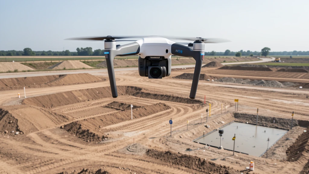
Aerial Imaging vs traditional ground-based methods
Aerial imaging has changed how construction sites, mines, and large land areas get measured. But it has not replaced traditional ground-based methods entirely. Each method has a sweet spot, and knowing which one fits your project saves both time and money.
This guide compares the two methods across cost, accuracy, turnaround time, deliverables, and use-case suitability so you can make the right call before you spend a dollar.
The Short Version
For most construction, earthwork, and large-area mapping projects, aerial imaging is the better choice. It is 50-75% cheaper, 60-80% faster in the field, and produces denser, more visually useful data.
For legal boundary data collection, underground utility location, recorded plats, and sub-centimeter precision work, traditional ground-based methods is still required. No drone can replace a licensed surveyor stamping a property boundary.
Many projects benefit from both: aerial imaging for the topo and surface data, plus a traditional surveyor for boundary corners and legal certification.
Head-to-Head Comparison
| Metric | Aerial Imaging | traditional ground-based data collection |
|---|---|---|
| Cost per acre (photogrammetry) | ✓ $150-$300 | $500-$2,000 |
| Cost per acre (LiDAR / high-accuracy) | ✓ $150-$500 | $800-$3,000 |
| Field time for 40-acre site | ✓ 30-90 minutes | 2-4 days |
| Processing time | ✓ 1-4 hours (same day) | 1-2 days |
| Horizontal accuracy (with RTK/GCPs) | 1-3 cm | ✓ Sub-centimeter to 1 cm |
| Vertical accuracy (with RTK/GCPs) | 2-5 cm | ✓ Sub-centimeter to 1 cm |
| Data density | ✓ Millions of points | Hundreds of points |
| Deliverable types | Orthomosaic, 3D mesh, point cloud, DEM, contours | CAD drawing, point list, boundary description |
| Vegetation penetration | LiDAR only; photogrammetry needs clear ground | Total station can shoot through canopy gaps |
| Repeat flight cost | ✓ $1,500-$3,000/visit | Full crew cost every time |
| Legal boundary data collection | Not sufficient alone | ✓ Required by law |
| Safety risk to crew | ✓ Minimal (pilot stays grounded) | Higher (steep terrain, active sites, traffic) |
Real-World Cost Example: 20-Acre Construction Site
Aerial Imaging
- ✓ Field time: 30-60 minutes
- ✓ Same-day deliverable
- ✓ Orthomosaic + 3D model + contours
- ✓ Millions of data points
traditional ground-based data collection
- ✓ Field time: 2-4 days
- ✓ 1-2 week deliverable
- ✓ CAD drawing + point list
- ✓ Hundreds of data points
Aerial imaging saves 50-75% on this site while producing more data. A licensed surveyor can stamp drone-derived topo data for an additional fee if legal certification is needed.
For detailed pricing by service type and acreage, see our aerial imaging cost guide.
In real-world projects, the switch to aerial imaging often pays for itself faster than teams expect. Construction firms that have made the switch report reaching a "too expensive not to own" moment after just a few flights — when they realize the data from a single drone flight would have taken a ground crew days to collect. One contractor described replacing a full day of manual site inspections with a 15-minute drone flight, saving five man-hours per site visit. That pattern repeats across the industry: the first flight usually surprises the team with how much ground they can cover so quickly, and the ROI compounds from there.
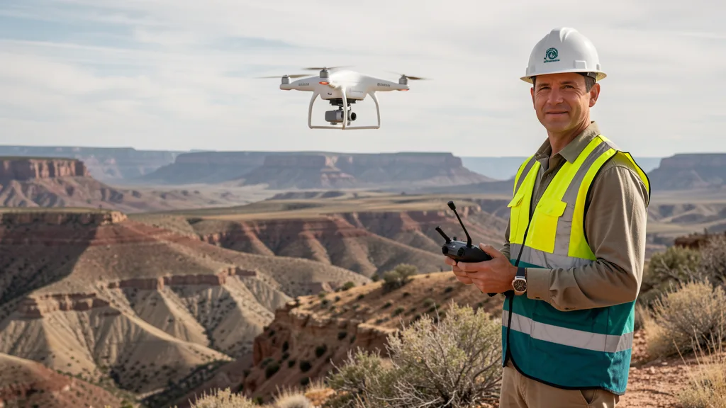
A drone operator can map a 40-acre site in under an hour — a ground crew would need days.
Accuracy: What the Numbers Mean
Aerial imaging accuracy depends on the technology and ground control. Here is the breakdown:
- Drone photogrammetry with RTK/GCPs: 1-3 cm horizontal, 2-5 cm vertical. Meets ASPRS standards for most mapping and construction applications.
- Drone LiDAR: 1-3 cm horizontal and vertical. Better in vegetation and low-light conditions.
- Drone without ground control (GPS only): 1-3 meter accuracy. Reference-grade only, not suitable for certified deliverables.
- Traditional total station: Sub-centimeter to 1 mm. Required for legal boundaries, utility staking, and structural monitoring.
- RTK GPS rover (ground): 1-2 cm horizontal, 2-3 cm vertical. Comparable to drone RTK accuracy but single-point measurements only.
The practical takeaway: drone accuracy is sufficient for site planning, earthwork, grading verification, stockpile volumes, and progress tracking. traditional ground-based methods remains necessary when sub-centimeter precision is legally or structurally required.
Field experience shows that drone photogrammetry with RTK/GCPs achieves 1-3 cm horizontal accuracy consistently across construction, earthwork, and progress monitoring applications. In practice, that level of accuracy is more than sufficient for most job sites. However, drone operators who work across both methods note that traditional total stations still win for sub-centimeter precision work like legal boundary determination — and on most construction sites, you still need a licensed surveyor for anything that requires a stamp. Research also shows aerial imaging can reduce total labor by up to 60% per project: on a 40-acre site, what takes a ground crew 2-4 days of walking takes a drone 30-90 minutes of flight time.
Which Method Fits Your Project?
| Project Type | Drone | Traditional | Recommended |
|---|---|---|---|
| Construction site topo (5+ acres) | Best choice | Slower, costlier | Drone |
| Construction progress monitoring | Best choice (weekly flights) | Impractical for frequency | Drone |
| Stockpile volume calculation | Best choice (2-3 cm accuracy) | Slower, less complete | Drone |
| Large-area mapping (50+ acres) | Best choice | Cost-prohibitive | Drone |
| Legal boundary / property data collection | Cannot replace | Required | Traditional |
| Underground utility location | Cannot detect | Required (with GPR) | Traditional |
| Small site (under 1 acre) | Higher minimum cost | More efficient | Traditional |
| Hazardous or hard-to-reach terrain | Best choice (no crew risk) | Safety risk | Drone |
| Corridor mapping (roads, pipelines) | Best choice (linear flight) | Very slow | Drone |
| Recorded plat / subdivision | Not sufficient | Required by law | Traditional |
The Hybrid Approach: When Both Methods Win
In real-world projects, many teams don't choose one method over the other — they use both. A common pattern: aerial imaging captures the topo and surface data across the full site quickly and affordably, then a traditional surveyor comes in for boundary corners, legal certification, and anything requiring a stamped deliverable. Construction firms that have adopted this hybrid approach report getting the speed and cost savings of aerial imaging for the bulk of the work, while retaining the legal certainty of traditional methods only where they're truly needed. The result is a workflow that costs less than a full traditional ground-based method but delivers more comprehensive data — and still has a licensed surveyor's stamp where it counts.
Where Aerial Imaging Wins
- ✓ 60-80% faster field data collection
- ✓ 50-75% lower cost for sites over 5 acres
- ✓ Millions of data points vs. hundreds
- ✓ Orthomosaic imagery as a deliverable
- ✓ Safer for hazardous terrain
- ✓ Repeat flights cost a fraction of ground crew mobilization
Where traditional ground-based methods Wins
- ✓ Sub-centimeter precision for legal work
- ✓ Required for boundary and plat data collection
- ✓ Works in dense vegetation without LiDAR
- ✓ Can locate underground utilities with GPR
- ✓ More cost-effective for very small sites
- ✓ Licensed surveyor stamp available
Decision Framework: 5 Questions to Ask
- Is this a legal boundary or recorded plat data collection? If yes, you need a licensed land surveyor with traditional methods. No exceptions.
- Is the site larger than 5 acres? If yes, aerial imaging will almost always be more cost-effective and produce better surface data.
- Do you need orthomosaic imagery or 3D models? Only aerial imaging produces these. Traditional ground methods give you points and lines.
- How often will this be repeated? Weekly or monthly progress monitoring favors drones heavily. Each repeat flight costs a fraction of a ground crew mobilization.
- Is dense vegetation covering the ground surface? Photogrammetry cannot see through canopy. Use drone LiDAR, or fall back to traditional methods if LiDAR is not available in your area.
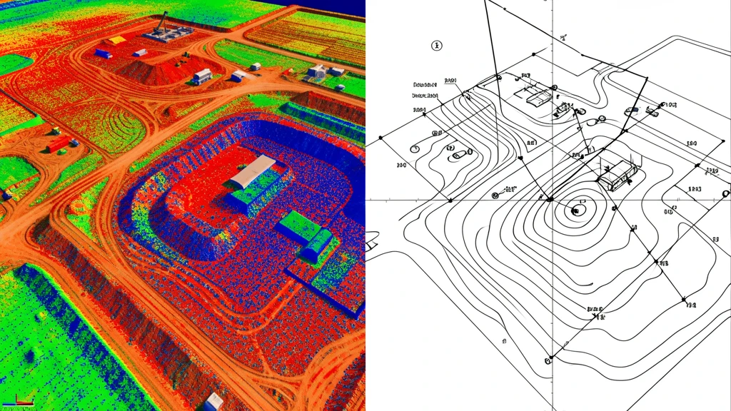
Aerial imaging produces visual, measurable deliverables that traditional methods simply cannot match.
Frequently Asked Questions
What are the advantages of aerial imaging over traditional land data collection methods?
Aerial imaging offers six key advantages over traditional ground-based methods: (1) Cost: 50-75% cheaper for sites over 5 acres, with per-acre costs of $60-$1,800 versus $500-$2,000 for ground-based data collection. (2) Speed: 60-80% faster field data collection, with a 40-acre site flown in 30-90 minutes versus 2-4 days for a ground crew. (3) Data density: Millions of data points captured across the entire site surface, compared to hundreds of individual point measurements from a total station. (4) Deliverables: Orthomosaic maps, 3D textured mesh models, digital surface models, and point clouds that provide visual and spatial context beyond what CAD drawings offer. (5) Safety: The pilot stays grounded, eliminating crew risk on steep terrain, active construction sites, or hazardous environments. (6) Repeat flight economics: Follow-up flights cost $1,500-$3,000 per visit, making weekly or monthly progress monitoring financially practical where ground crew remobilization would be cost-prohibitive.
Is aerial imaging as accurate as traditional ground-based methods?
With RTK GPS and ground control points, drone photogrammetry achieves 1-3 cm horizontal and 2-5 cm vertical accuracy. That meets ASPRS standards for most construction, mapping, and volume calculation work. traditional ground-based methods with a total station can reach sub-centimeter accuracy, which may be required for legal boundary data collection projects or sub-grade utility staking. For most site planning, earthwork, and progress monitoring applications, drone accuracy is more than sufficient.
How much cheaper is aerial imaging compared to traditional methods?
Aerial imaging typically costs 50-75% less than traditional ground-based data collection for sites over 5 acres. A 20-acre site that costs $15,000-$30,000 for a traditional topographic data collection can be drone-mapped for $3,000-$6,000. The savings increase with site size because drone flight time scales far better than ground crew time.
Can aerial imaging replace a licensed land surveyor?
Aerial imaging produces highly accurate topographic data, 3D models, and orthomosaics, but it does not replace a licensed land surveyor for legal boundary determination, property line marking, or recorded plat aerial imaging flights. In practice, many projects end up using a hybrid approach: aerial imaging captures the topo and surface data quickly and affordably, then a traditional surveyor comes in for boundary corners and legal certification. Many aerial data providers partner with licensed surveyors who can stamp and certify the deliverables when needed. For construction site planning, progress tracking, and volume calculations, drone data alone is typically sufficient.
When should I use traditional ground-based methods instead of aerial imaging?
traditional ground-based methods is the better choice for sites under 1 acre, legal boundary data collection projects, underground utility location, and situations requiring sub-centimeter precision. Dense vegetation is also a challenge for photogrammetry, though LiDAR can penetrate canopy. If your project involves property disputes, recorded subdivisions, or FEMA flood certificates, a licensed surveyor using traditional methods is required.
How fast can an aerial imaging flight be completed?
A typical 40-acre site can be flown in 30-60 minutes of field time. Processing takes 1-4 hours depending on data volume and whether cloud or local processing is used. Total turnaround from field to deliverable is often same-day for standard photogrammetry. A traditional ground-based data collection of the same site would take 2-4 days of field work plus 1-2 days of office processing.
What deliverables does aerial imaging produce that traditional data collection projects do not?
Aerial imaging produces orthomosaic maps (high-resolution stitched aerial imagery), 3D point clouds, textured mesh models, and digital surface models. Traditional ground-based data collection produce point-based measurements and CAD drawings. Aerial imaging captures millions of data points across the entire site surface, while a ground-based data collection captures specific shot locations. This means drone data can be re-queried after the fact for measurements that were not explicitly collected in the field.
Need an Aerial Imaging Quote?
Get matched with FAA-certified local drone operators who can handle your project. Free, no obligation, responses within 2 business days.
Related resources:
Topographic Data Collection Services · LiDAR Scanning · Construction Monitoring · Volumetric Analysis · Aerial Imaging Glossary · Find a Local Operator