Aerius View Blog
Insights on aerial mapping, drone mapping, LiDAR technology, and UAV applications for construction, real estate, and environmental monitoring.

Search and Rescue Drones: How UAV Technology Is Saving Lives
Search and rescue drones are transforming emergency response. Thermal imaging, AI-powered person detection, and rapid aerial coverage help teams find missing persons faster than ever. Here is how SAR drone technology works, what equipment matters, and how agencies are deploying UAVs in the field.
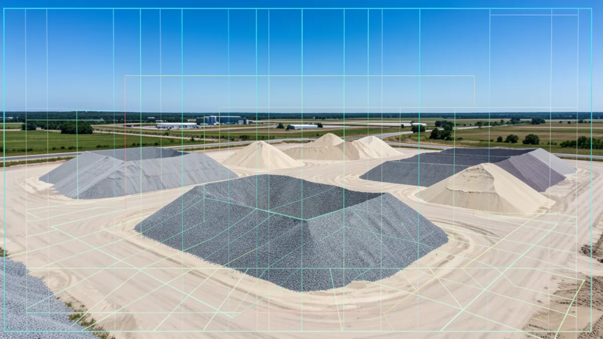
Drone Stockpile Volume: Cost & Accuracy
Drone stockpile volume measurement achieves 1 to 5 percent accuracy in 20 to 40 minutes per flight. This guide covers how it works, what it costs, and how to verify results for audit-grade inventory tracking.
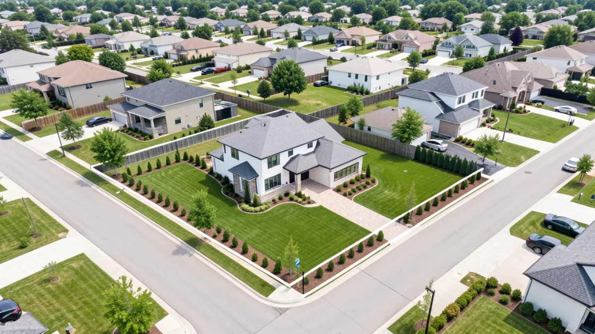
Drone Real Estate Photography: Costs & ROI
Drone real estate photography helps listings sell 68% faster and receive up to 94% more views than standard ground-only photos. Here is what it costs in 2026, how it impacts sale prices, and why agents who skip aerial imagery are leaving money on the table.

How to Become a Drone Operator in 2026: Complete Career Guide
Becoming a drone operator requires FAA Part 107 certification, the right equipment, and practical flight experience. This guide covers certification, training, gear costs, business setup, and how to land your first paying clients in the aerial imaging industry.
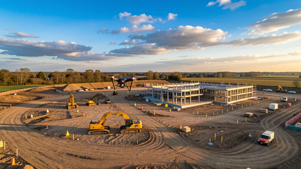
How Construction Sites Use Drone Monitoring to Cut Costs
Construction drone monitoring is cutting data collection costs by 60–80% and catching rework before it spirals into five-figure mistakes. From weekly progress flights at $199 per model to stockpile volumetrics that replace $2,500 ground methods, UAV construction monitoring is now standard practice on well-run job sites in 2026.
Construction Progress Monitoring with Drones: Weekly vs Monthly ROI
Weekly drone progress monitoring on a 50-acre commercial site costs about $6,000 per month and catches grading errors, scope deviations, and rework in days instead of weeks. Monthly monitoring costs $1,800 per flight but can miss $40,000 in rework that happens between flyovers. Here is the real ROI math on weekly vs monthly cadence, with dollar figures from active job sites.
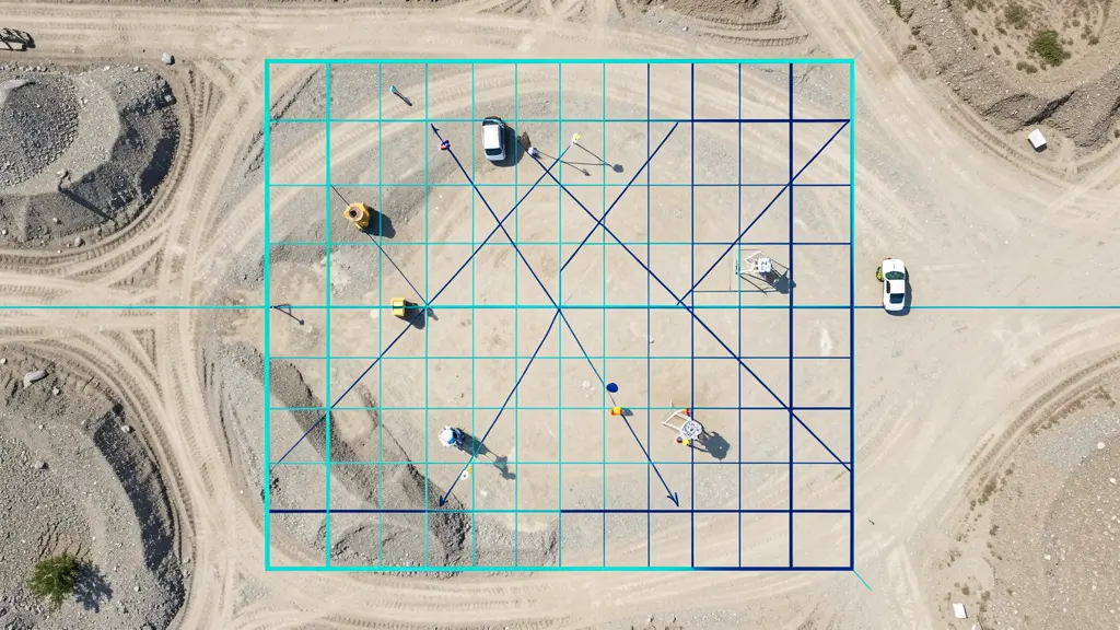
How Much Does an aerial Imaging Cost? Complete Pricing Guide
Aerial imaging costs range from $150 for a simple aerial imagery job to over $150,000 for LiDAR mapping on large sites. Most projects fall between $800 and $35,000 depending on service type, acreage, and deliverables. This guide breaks down real pricing for every aerial imaging service with data from 626 cities across 15 states.
LiDAR vs Photogrammetry: Which Imaging Method Wins in 2026
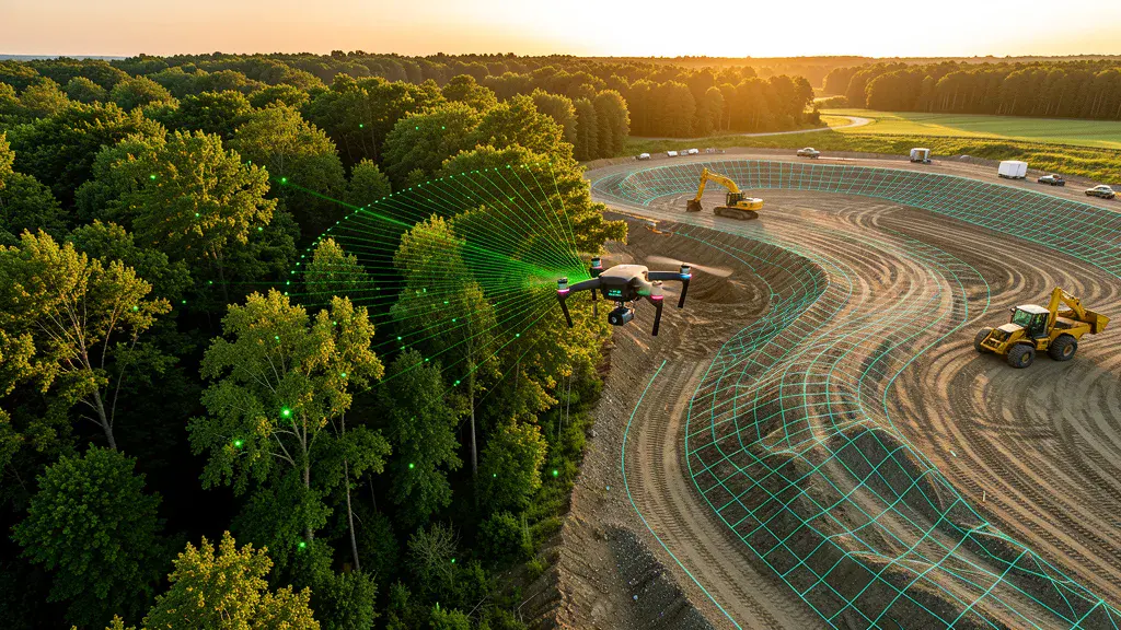
LiDAR vs photogrammetry is the single biggest decision in aerial imaging today. LiDAR wins on vegetation penetration and vertical accuracy in complex terrain. Photogrammetry wins on cost, visual detail, and open-site efficiency. This guide breaks down real accuracy numbers, real costs, and when to choose each method for your next project, with a decision framework you can use today.
Aerial Imaging Trends 2026: What's Next
Aerial imaging trends in 2026 are being shaped by BVLOS regulatory progress, AI-powered processing workflows, and LiDAR sensors that finally hit a price point contractors can justify. A 40-acre commercial topo that cost $30,000 with a ground crew now runs $12,000 with a UAV and comes back in two days instead of four weeks. This guide breaks down what actually changed this year, what it costs in real dollars, and where UAV aerial imaging is headed next for project managers who need data collection work done.
Need a Drone Operator?
Browse our location pages to find FAA-certified aerial mapping professionals in your area.
Browse All Locations or Get a Free Quote