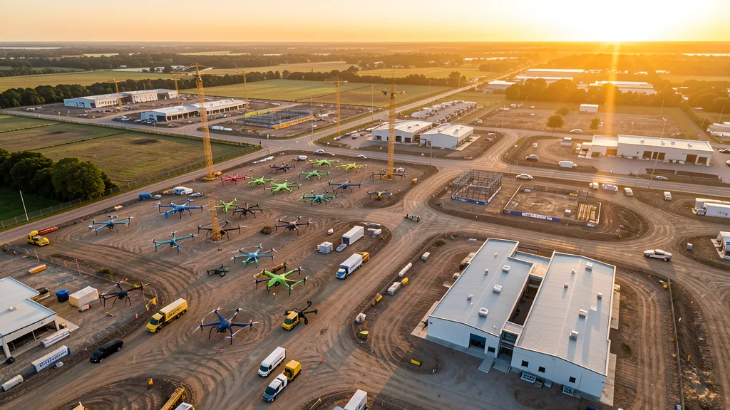
Aerial Mapping Services
Comprehensive aerial imaging services for construction, real estate, environmental, and infrastructure projects. Each category connects you with specialists who have the right equipment and experience for the job.
All drone operators in our network hold active FAA Part 107 Remote Pilot Certificates. Submitting a request is free, with no obligation to hire.
Topographic Data Collection Mapping
High-resolution terrain data for construction, engineering, and development projects.
Drone Inspection Services
Safe, efficient inspections of bridges, roads, utilities, and infrastructure.
LiDAR Scanning Services
Precision 3D terrain models with advanced LiDAR technology.
Environmental Monitoring
Vegetation health, water quality, and wildlife habitat assessment.
Aerial Imagery
Survey-grade aerial photography for documentation and planning.
Construction Monitoring
Track progress, identify issues, and optimize resource allocation.
Real Estate Photography
Stunning drone views that transform property listings.
Roof Inspection
Detailed roof inspections without the cost and risk of manual access.
Volumetric Analysis
Stockpile volume measurement, cut/fill calculations, and aggregate inventory tracking.
Mining data collection
Mine site aerial imaging flights, pit mapping, tailings monitoring, and safety inspections.
Multispectral Imaging
Crop health analysis, NDVI mapping, and vegetation indices for agriculture.
How It Works
Three steps from project request to professional results. No upfront cost, no obligation.
Tell Us What You Need
Submit your project details through our form. Pick a service type, share your zip code, and describe your project. Takes 2 minutes.
We Match You With Local Pros
We route your request to FAA-certified drone operators in your area who specialize in the service you need. No cold-calling, no directory scrolling.
Get Quotes and Choose
Matched drone operators contact you within 2 business days with quotes. Compare options, ask questions, and hire the one that fits. No obligation.
Or call (844) 423-9696