How to Hire a Drone Operator
The complete buyer's guide for construction managers, developers, and engineers. Everything you need to know before hiring a drone operator, including credentials to verify, questions to ask, deliverables to request, accuracy specs, cost expectations, and red flags to avoid.

Get the Buyer's Guide
Enter your email and we'll send the PDF straight to your inbox.
Check your inbox!
We've sent the buyer's guide to your email. If you don't see it in 2 minutes, check your spam folder.
Download PDF DirectlySomething went wrong. Please try again.
What's Inside the Guide
10 chapters packed with practical, decision-ready information. No fluff.
Why Aerial Data Acquisition?
Brief overview of how aerial imaging works and where it beats traditional methods on cost, speed, and safety.
Available Services
Topographic, LiDAR, inspection, volumetric, orthomosaic, construction monitoring, and more. What each one does and when you'd need it.
Credentials to Verify
FAA Part 107 certification, liability insurance, experience level. What to check and how to confirm it.
Questions to Ask
Key questions for the RFP or initial call that separate professionals from hobbyists.
Deliverables to Request
Orthomosaic, point cloud, DEM, DSM, contour lines, volume reports. What format you need and why it matters.
Accuracy Specifications
GSD, RTK vs PPK vs non-RTK, what accuracy means for different use cases. Numbers you can use in your spec sheet.
Red Flags
Unlicensed operators, no insurance, unrealistic promises, no data processing capability. Signs to walk away.
Cost Expectations
Real price ranges by service type and acreage. What drives cost up and down. No guessing, no vague ranges.
How AeriusView Helps
Marketplace model, vetted operators, free quotes, no obligation. How we make the hiring process easier.
Pre-Hire Checklist
One-page summary checklist you can print and use for every project. Verify credentials, ask the right questions, confirm deliverables.
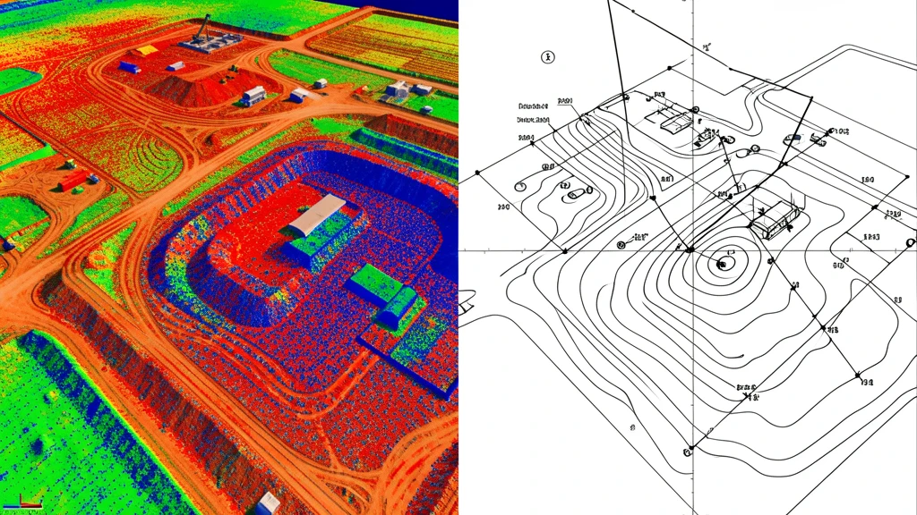
The buyer's guide explains each deliverable type and which ones to request for your project.
Who This Guide Is For
If you're responsible for hiring a drone operator, this guide is for you.
Construction Managers
Need topographic data, progress monitoring, or volumetric measurements for your site. Want it faster and cheaper than traditional ground methods.
Developers & Land Owners
Evaluating land for development. Need accurate topo, boundary context, or environmental data before breaking ground.
Project Engineers
Need data-grade deliverables for design work. Want to specify accuracy requirements clearly and avoid rework from bad data.
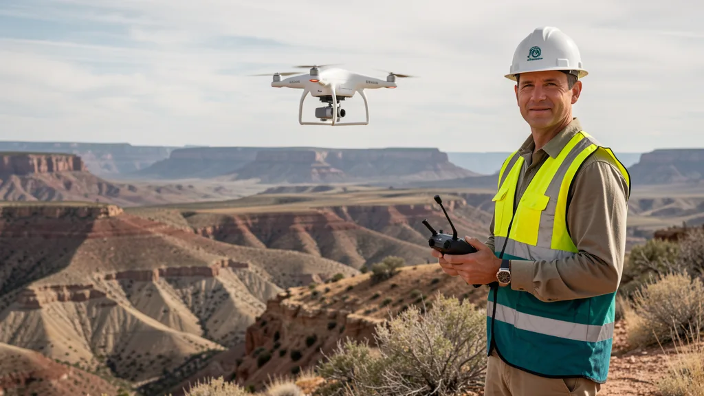
Always verify FAA Part 107 certification and insurance before hiring a drone operator.
Frequently Asked Questions
Is the buyer's guide really free?
Yes. The guide is a free download. We ask for your email so we can send you the PDF and follow up with a quote from a local operator if you need one. There is no cost and no obligation.
What does the guide cover?
The guide walks through the entire hiring process: understanding what aerial data services exist, verifying operator credentials (FAA Part 107, insurance), key questions to ask during initial calls, what deliverables to request, accuracy specifications (GSD, RTK, PPK), red flags to watch for, and realistic cost expectations by service type and project size. It includes a one-page pre-hire checklist you can print and use.
Who is this guide for?
Construction managers, developers, project engineers, site superintendents, and anyone responsible for hiring a drone operator or deciding between aerial imaging and traditional ground methods. If you are evaluating aerial imaging for the first time, this guide will save you time and help you avoid common pitfalls.
Will my email be shared or sold?
No. Your email is used to deliver the guide and, if you request it, connect you with a local FAA-certified drone operator for a project quote. We do not share or sell your information to third parties.
Can I get quotes from local operators after reading the guide?
Yes. After downloading the guide, you can request free quotes from local operators through our aerial data cost calculator or by submitting a project request. There is no cost to receive quotes, and you choose the operator that best fits your project.
Ready to Get Quotes from Local Operators?
After reading the guide, use our free cost calculator to get instant pricing estimates and request quotes from FAA-certified drone operators in your area.
Estimate Your Project Cost