Drone Stockpile Volume: Cost & Accuracy
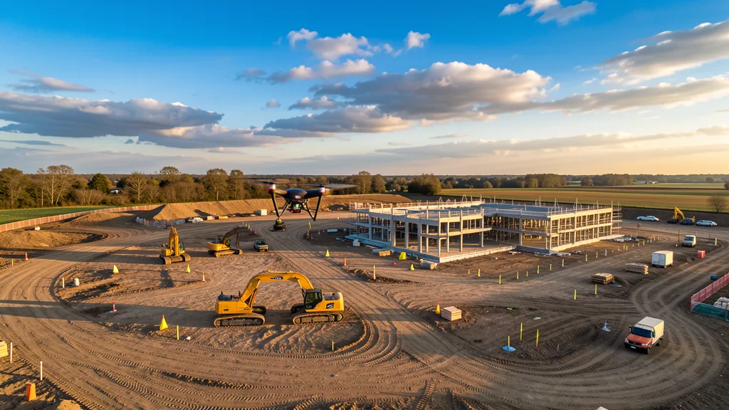
A single drone flight can survey 10 to 15 stockpiles in 20 to 40 minutes and deliver volume calculations within 1 to 5 percent of actual material quantities. Compare that to a traditional ground crew walking the same piles with a total station, which takes a full day and still only captures 50 to 100 data points per pile.
If you are managing aggregate inventory, tracking material moved on a construction site, or reconciling quarry stock for financial reporting, this guide covers how drone stockpile volume measurement works, what it costs in 2026, and how to verify the results are audit-grade.
How Drone Stockpile Volume Measurement Works
The process has four stages: capture, processing, volume calculation, and verification.
Capture. A drone pilot flies an RTK-enabled drone in a grid pattern over the stockpile area at 100 to 200 feet altitude. The drone captures 200 to 400 overlapping photos at 80 percent front overlap and 70 percent side overlap. Five to 10 ground control points (GCPs) are placed around the perimeter and at high points to tie the aerial data to known coordinates. Two to 3 additional checkpoints are placed independently for quality control.
Processing. The photos are uploaded to a photogrammetry platform — Pix4D, DroneDeploy, Agisoft Metashape, or Propeller — which stitches the overlapping images into a 3D point cloud containing 100 to 500 points per square meter. The point cloud is converted to a digital surface model (DSM) and an orthomosaic map. Processing takes 1.5 to 4 hours depending on data volume and whether you use cloud or desktop software.
Volume calculation. The photogrammetry software calculates stockpile volume by defining a base surface (the ground plane beneath the pile) and summing the vertical distance between the pile surface and that base across the entire pile area. Most platforms offer three calculation methods: flat base, fit-to-terrain base, or a user-defined reference surface. For irregular piles, the fit-to-terrain method produces the most accurate results because it accounts for slope under the pile.
Verification. The 2 to 3 independent checkpoints are checked against the model. If the checkpoints agree with the model within tolerance — typically 3 to 5 cm vertical — the volume calculation is considered reliable. If not, the flight is re-flown or the processing parameters are adjusted.
Drone Volumetric Survey Accuracy: What to Actually Expect
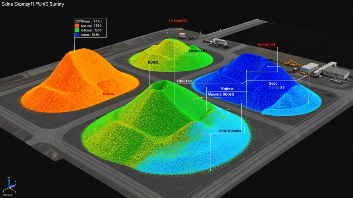
The accuracy claim that matters for stockpile measurement is volume accuracy, not point accuracy. Here is what the research and field data show in 2026:
- 1 to 5 percent volume error — Under ideal conditions with proper GCPs and an RTK-enabled drone, volume accuracy reaches 1 to 3 percent. Published photogrammetry benchmarks from Pix4D cite 2 to 5 percent as the typical range. A study comparing UAV-derived volumes to known mill-machine volumes found a 2.94 percent difference.
- 3 to 5 cm surface RMSE — The vertical accuracy of the digital surface model with GCPs. Without GCPs, expect 1 to 3 meter accuracy, which is fine for imagery but not for volume calculations.
- 1 to 3 cm horizontal accuracy — With RTK or PPK correction, the horizontal positioning of each point in the model is accurate to 1 to 3 centimeters.
The key variable is ground control. A drone survey without GCPs is not suitable for volume measurement. The stockpile volume calculation depends on accurate elevations, and without GCPs, the model can drift by several meters at the edges. If you need volumetric analysis for financial reporting or billing, always insist on GCPs and independent checkpoints.
What Drone Stockpile Measurement Costs in 2026
Pricing for drone stockpile volume measurement depends on site size, number of piles, frequency of flights, and whether you need certified deliverables. Here are typical 2026 service provider rates:
- Single-site stockpile survey (under 10 acres, 5 to 10 piles): $800 to $2,500 per flight
- Mid-size quarry or yard (10 to 50 acres, 10 to 20 piles): $2,500 to $6,000 per flight
- Large mining or aggregate site (50+ acres, 20+ piles): $6,000 to $15,000 per flight
- Monthly monitoring contract (recurring flights): $1,500 to $4,000 per month depending on site count and flight frequency
For comparison, a traditional ground-based stockpile survey using a total station costs $1,500 to $4,000 per day and takes 1 to 2 days for a site with 10 to 15 piles. The ground crew captures 50 to 100 data points per pile. The drone captures millions. More data points mean more accurate volume models, especially for irregularly shaped piles.
Processing costs add $99 to $199 per model if you are using a cloud platform with per-model pricing, or $300 to $1,200 per year for a subscription. Desktop software runs $3,500 to $8,000 per year but has no per-model fees.
Drone vs Traditional Stockpile Measurement: Real Comparison
| Metric | Drone Photogrammetry | Traditional (Total Station) |
|---|---|---|
| Volume accuracy | 1 to 3 percent error | 2.3 to 3 percent (controlled); 5 to 15 percent (sparse) |
| Data points per pile | 100,000+ (millions total) | 50 to 100 points |
| Time per 10-15 piles | 20 to 40 minutes flight time | Full day field work |
| Processing time | 1.5 to 4 hours | Immediate (manual calc) |
| Safety risk | Low (no walking on piles) | High (walking unstable surfaces) |
| Cost per survey | $800 to $6,000 | $1,500 to $4,000 |
| Frequency | Weekly or monthly feasible | Monthly at best |
The accuracy gap between drone photogrammetry and a well-controlled total station survey is narrower than commonly assumed. Both can achieve 2 to 3 percent volume error under good conditions. The drone wins on data density, safety, and frequency. A ground crew can only survey piles so many times before the cost becomes prohibitive, which means inventory data is always stale. A drone crew can fly weekly and keep inventory numbers current.
Common Pitfalls in Drone Stockpile Measurement
Three recurring issues degrade accuracy in practice:
1. No ground control points. The most common mistake. Operators fly without GCPs, deliver a volume report, and the client discovers the numbers are off by 10 to 15 percent when they compare against truck tickets. Always use at least 5 GCPs placed around the perimeter and at high points.
2. Wrong base surface selection. If the stockpile sits on a sloped surface, using a flat base plane overestimates the volume on the uphill side and underestimates on the downhill side. Use the fit-to-terrain method or manually define the base surface to match the ground beneath the pile.
3. Inconsistent flight parameters between surveys. If you are tracking inventory changes over time, changing flight altitude, overlap settings, or GCP locations between flights introduces variability that masks real changes. Lock your flight parameters and keep GCPs in the same locations for every survey.
What Equipment Do You Need?
For professional stockpile volume measurement, the current equipment standard in 2026 is:
- Drone: DJI Matrice 350 RTK or DJI Mavic 3 Enterprise with RTK module
- Camera: Mechanical shutter camera (Zenmuse P1 or equivalent) for sharp, distortion-free imagery
- Ground control: 5 to 10 GCP targets (AeroPoints or similar smart targets) plus 2 to 3 checkpoints
- Processing software: Pix4Dmapper, DroneDeploy, Agisoft Metashape, or Propeller
Total equipment investment for a complete professional setup runs $25,000 to $60,000. For a site that only needs occasional stockpile measurement, hiring a service provider is more cost-effective than building an in-house capability.
When to Use LiDAR Instead of Photogrammetry
Photogrammetry is the default method for stockpile measurement because it is faster and cheaper. But if your stockpiles are partially vegetated, covered in tarp, or located in areas with heavy dust or low-light conditions, photogrammetry struggles to produce clean surface models. In those cases, LiDAR scanning is the better choice. LiDAR penetrates vegetation and works in conditions where photogrammetry fails, but it costs 3 to 5 times more per survey. For most aggregate and construction stockpiles in open air, photogrammetry is sufficient.
Frequently Asked Questions
How accurate are drone stockpile volume measurements?
Drone photogrammetry achieves 1 to 3 percent volume error when flown with RTK correction and 5 to 10 ground control points. Without ground control, accuracy degrades to 5 to 15 percent error, which is not suitable for inventory or billing purposes.
How much does a drone stockpile survey cost?
A single-site stockpile survey with 5 to 10 piles costs $800 to $2,500 per flight. Larger sites with 10 to 20 piles run $2,500 to $6,000. Monthly monitoring contracts typically cost $1,500 to $4,000 per month depending on site count and flight frequency.
How long does a drone stockpile survey take?
The flight itself takes 20 to 40 minutes for 10 to 15 stockpiles. Processing takes 1.5 to 4 hours depending on data volume and software. Total turnaround from data capture to volume report is typically same-day for most sites under 50 acres.
Can drone stockpile measurements be used for financial reporting?
Yes, when performed with proper ground control, RTK correction, and independent checkpoints. The 1 to 5 percent accuracy range meets the ±3 percent standard cited in mining survey guidance. Always include check shots and a licensed surveyor review if the deliverable needs to be certified.
How often should stockpiles be surveyed?
Weekly surveys are ideal for active construction sites and quarries with material moving daily. Monthly surveys are sufficient for slower-moving inventory. The cost of weekly drone surveys is often less than the cost of a single inventory discrepancy discovered at month-end reconciliation.
Need accurate stockpile volumes for your next project? Contact our team and we will connect you with FAA-certified drone operators who specialize in volumetric surveys. No cost, no obligation — just a straightforward conversation about your site and what it takes to get audit-grade inventory numbers.
Need an Operator?
Get matched with FAA-certified aerial mapping professionals in your area. No cost, no obligation.
Get a Free QuoteFind a Drone Operator in Your Area
We connect project managers with FAA-certified drone operators across 15 states. Browse our location pages to find local aerial mapping services near you.
Browse All Locations