Aerial Imaging Trends 2026: What's Next
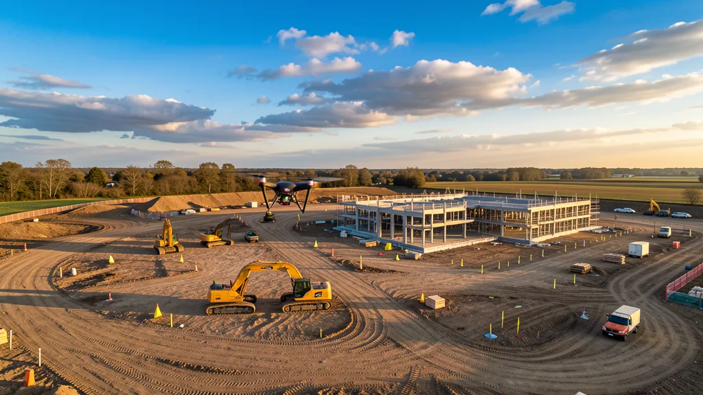
Aerial imaging trends in 2026 are not about incremental upgrades anymore. The industry crossed a real threshold this year where UAV aerial imaging stopped being the cheaper alternative and became the default method for most large-area mapping work. A 40-acre commercial site topo that used to cost $25,000 to $35,000 with a traditional ground crew, taking three to four weeks of field time, now runs $10,000 to $18,000 with a drone crew and comes back in one to two days. That is not a projection. That is what contractors are paying right now.
If you are a project manager or contractor trying to figure out whether aerial imaging makes sense for your next job, this guide covers what genuinely changed in 2026, what the technology actually costs, and where things are headed next. We pulled real project numbers, real equipment pricing, and real stories from the field, not marketing fluff.
Aerial Data Acquisition Trends: What Actually Changed in 2026
The biggest shifts this year are not on the hardware side. They are on the regulatory and software sides. Here is what is different.
Part 108 and BVLOS expansion. The FAA's Beyond Visual Line of Sight rule, Part 108, moved from proposal to implementation in early 2026. This matters more than most people realize. Under Part 107, a drone pilot had to keep the aircraft in visual line of sight at all times, which meant a 5-mile corridor data collection required multiple pilot repositioning stops or a chase vehicle. Under Part 108, operators with the right equipment and Remote ID compliance can fly BVLOS under an operational permit instead of chasing case-by-case waivers. For linear projects like pipeline corridors, transmission lines, and highway mapping, this cuts flight time and crew costs significantly.
Cloud processing got fast enough to matter. A 50-acre photogrammetry job that took overnight to process two years ago now returns initial results in 1.5 to 2 hours on modern cloud infrastructure. The total elapsed time from wheels-up to client deliverable for a standard construction site is 4 to 8 hours. Compare that to 2 to 4 days of field work plus 1 to 2 days of office processing for a traditional ground-based data collection of the same scope.
LiDAR sensor prices dropped. A DJI Zenmuse L3 LiDAR payload, which delivers survey-grade point clouds, currently sells for around $16,900. Two years ago, a comparable sensor setup cost $30,000 to $50,000. That price drop is why more mid-size data collection firms are adding LiDAR to their toolkit instead of subbing it out. If you need LiDAR scanning services for a project with vegetation cover or complex terrain, the market is more competitive than it was even six months ago.
Real Costs: What Aerial Data Acquisition Actually Runs in 2026
Let's get specific. Here is what aerial imaging work costs right now, based on current service provider rates and project data.
- Basic orthomosaic mapping: $10 to $30 per acre
- Engineering topographic data collection with ground control points: $50 to $150 per acre
- Survey-grade deliverables with field verification: $100 to $300 per acre
- LiDAR aerial imaging flights: $150 to $500 per acre depending on point density requirements
For project pricing, a small site under 10 acres typically starts around $1,500 for photogrammetry. A 40-acre commercial site topo runs $10,000 to $18,000 with a drone crew versus $25,000 to $35,000 with traditional methods. LiDAR projects start at $3,000 minimum and can exceed $15,000 for complex industrial sites.
A person on a construction management forum recently shared their experience switching from ground-based data collection to drone-based earthwork analysis on a 110-acre site. Their previous ground-based data collection for the same scope cost $28,000 and took three weeks. The aerial imaging came in at $11,500, delivered in two days, and included volumetric calculations for cut and fill that the ground crew had not been providing. The catch they noted was accuracy verification. You still need ground control points and independent check shots to confirm the drone-derived elevations hold within tolerance. Without that step, you get pretty maps that do not hold up in construction.
That last point is important. The cost savings are real, but only when the workflow includes proper ground control and accuracy verification. A topographic data collection done right with RTK-corrected drone data and 5 to 10 GCPs can achieve 1 to 3 cm horizontal accuracy and 2 to 5 cm vertical accuracy. Without GCPs, you are looking at 1 to 3 meter accuracy, which is fine for reference imagery but not for certified data collection deliverables.
The Equipment Landscape: What People Are Actually Flying
The DJI Mavic 3 Enterprise and DJI Matrice 350 RTK remain the two most widely deployed data collection drones in North America as of 2026. The Matrice 350 RTK pairs with Zenmuse P1 photogrammetry and L3 LiDAR payloads, covering most professional data collection workflows from construction monitoring to corridor mapping.
For hardware costs, here is the current tier breakdown:
- Consumer-grade mapping drone (DJI Mavic 3 Pro): $2,000 to $4,000
- Professional mapping drone with mechanical shutter: $5,000 to $15,000
- RTK-enabled enterprise drone: $15,000 to $25,000
- RTK or PPK drone with survey-grade camera: $25,000 to $60,000
Software runs $300 to $1,200 per year for cloud-based processing subscriptions, or $3,500 to $8,000 per year for desktop photogrammetry suites. Per-model processing credits on cloud platforms run $99 to $199 per model. Insurance for commercial operators runs $500 to $2,000 per year.
A person who runs a solo aerial imaging business shared on a mapping forum that their entry cost for LiDAR was around $50,000 once they factored in the sensor, software upgrades, a computer capable of handling point cloud processing, and increased storage. They noted it was worth it for the right clients but cautioned against jumping in without a clear pipeline of LiDAR work lined up. Photogrammetry has a much lower barrier to entry.
Where Aerial Data Acquisition Trends Are Heading Next
Three things are going to shape the next 12 to 18 months.
AI-powered feature extraction. Processing platforms are adding automated feature detection that identifies buildings, roads, utilities, and stockpiles from point clouds without manual classification. This cuts office processing time by 40 to 60 percent on typical projects. For construction progress monitoring, AI comparison tools automatically flag deviations between the current aerial imaging and the previous model, highlighting where grading has moved or where stockpiles have changed.
BVLOS at scale. As Part 108 implementation matures, expect to see more linear corridor projects flown end-to-end without repositioning. A 5-mile transmission corridor that currently requires 90 minutes split across three battery sets and repositioning stops could eventually be flown in a single sortie with a fixed-wing or hybrid VTOL platform. That translates to lower field costs and faster turnaround on utility and infrastructure projects.
Hybrid LiDAR and photogrammetry workflows. The practical trend in 2026 is not LiDAR replacing photogrammetry. It is using both together. A Digital Feature Model approach that integrates UAV photogrammetry for open terrain and LiDAR for vegetated areas produces more complete terrain maps than either method alone. Research published in early 2026 validated this approach for civil construction projects, showing improved accuracy in mixed-cover sites.
For construction monitoring, the combination is particularly useful. Photogrammetry gives you the visual context and orthomosaic for progress documentation. LiDAR gives you the bare-earth surface model for grading verification and volume calculations, even where vegetation or equipment is present.
What This Means for Your Next Project
If you are managing a project in areas like Abilene, TX or anywhere with open terrain and sites above 10 acres, aerial imaging is almost certainly your most cost-effective option at this point. The savings are most pronounced on large continuous areas. Small urban sites with dense obstructions may not see the same efficiency gains, and traditional ground-based data collection methods still hold advantages for tight urban lots and boundary work that requires a licensed surveyor's stamp.
One thing to watch for is the race to the bottom on pricing. A person on a mapping forum recently complained about seeing topo work priced under $50 per acre, calling the results inaccurate garbage where clients do not find out until construction starts. Cheap aerial imaging work that skips ground control or accuracy verification is not a bargain. It is a liability. Make sure whoever you hire includes RTK ground control, independent check shots, and a licensed surveyor review if the deliverable needs to be certified.
The global drone market is projected to grow from $69 billion in 2026 to $147.8 billion by 2036, according to IDTechEx. A significant portion of that growth is in aerial imaging and mapping. The technology is mature. The regulations are catching up. The costs are competitive. If you have not evaluated aerial imaging for your current projects, 2026 is the year to stop putting it off.
Ready to get an aerial imaging quote for your next project? Contact our team and we will walk you through the scope, accuracy requirements, and deliverables for your specific site. No pressure, just a straightforward conversation about what makes sense for your project and what it will cost.
Need an Operator?
Get matched with FAA-certified aerial mapping professionals in your area. No cost, no obligation.
Get a Free QuoteFind a Drone Operator in Your Area
We connect project managers with FAA-certified drone operators across 15 states. Browse our location pages to find local aerial mapping services near you.
Browse All Locations