Aerial Imaging ROI Calculator
Compare the cost, time, and accuracy of aerial imaging versus traditional ground-based methods. Enter your project details to see exactly how much you save and how quickly aerial imaging pays for itself.
Free to use. No signup required. ROI data based on industry research across 15 states and 625+ cities. A product of Agentic Trust.
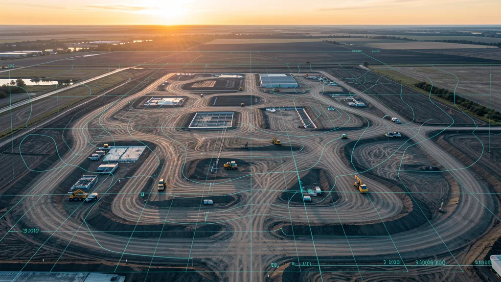
How to use this ROI calculator
Select your service type, site size, and state. Enter how many flights you do per year and your current method. You will instantly see a side-by-side comparison of traditional vs aerial imaging costs, time savings, and your effective ROI.
Don't see your state? Estimates still work with the national average.
How many flights of this type do you commission per year? Default is 4 (quarterly).
Drone vs traditional ground-based method ROI
traditional ground-based method
Aerial Imaging
Your Savings With Aerial Imaging Flights
Annual Cost Comparison
Estimates based on industry averages. Actual pricing varies by project scope, terrain, and operator availability.
Ready to Start Saving?
Get 3 free quotes from FAA-certified local operators. See your actual savings with real pricing.
Get Free QuotesSelect a service type, site size, and state above to see your ROI comparison.
It takes 10 seconds. No signup required.
Get 3 Free Quotes
Tell us about your project. A local FAA-certified drone operator will contact you within 2 business days.
What happens after you submit:
- We match your project with up to 3 local FAA-certified drone operators.
- A drone operator contacts you within 2 business days to discuss scope and pricing.
- You compare quotes and choose the best fit - no obligation.
- You only pay the operator you hire. AeriusView never charges you.
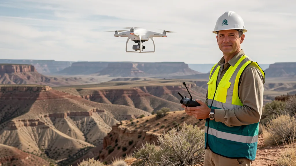
FAA-certified operators deliver mapping-grade data at a fraction of traditional ground method costs and timelines.
Aerial Imaging ROI FAQ
What is the ROI of aerial imaging vs traditional ground-based methods?
aerial imaging typically delivers a 5x to 10x return on investment compared to traditional ground-based methods, primarily through reduced labor hours, faster data collection, and fewer return visits. A crew that might spend a week traversing a 100-acre site on foot can capture the same data in a single afternoon flight. The ROI compounds on larger sites and on projects that need repeat aerial imaging flights, such as construction progress tracking or stockpile monitoring.
How much does aerial imaging save compared to traditional methods?
Most projects see 60% to 80% cost savings versus conventional methods, with the largest savings on sites over 20 acres or in difficult terrain. A traditional topographic data collection of a 50-acre site can run $12,000 to $25,000, while the equivalent aerial imaging often lands between $3,000 and $7,000. Savings shrink on very small sites under 5 acres where mobilization costs dominate, and on projects requiring extremely tight tolerances that ground methods are better suited for.
How accurate is aerial imaging compared to ground data collection?
Drone photogrammetry with ground control points achieves 1 to 3 centimeter horizontal accuracy and 2 to 5 centimeter vertical accuracy, which meets the requirements for most construction, grading, and volumetric applications. LiDAR-equipped drones push vertical accuracy to 1 to 2 centimeters even through light vegetation. For cadastral or high-order control work where millimeter accuracy is legally required, ground methods remain the standard, but for the vast majority of site planning, earthwork, and mapping tasks, aerial data is more than sufficient.
How long does an aerial imaging take vs a traditional ground-based method?
A drone can capture 100 to 300 acres per flight hour, compared to 5 to 15 acres per day for a two-person ground crew. A 50-acre topographic data collection that takes a traditional crew 3 to 5 field days is typically flown in under 45 minutes of flight time. Processing and deliverable turnaround still takes 2 to 7 business days depending on the service type, but the overall project timeline shrinks from weeks to days in nearly every case.
Is aerial imaging worth it for small sites?
For sites under 2 acres, aerial imaging can cost as much or more than a quick ground-based data collection because mobilization, flight planning, and processing have fixed minimum costs. Between 2 and 10 acres, drones become competitive and often cheaper, especially if the site is hard to walk due to terrain, vegetation, or access restrictions. Above 10 acres, aerial imaging is almost always the lower-cost option, and the savings scale linearly with site size.
How often should I map my construction site?
Active construction sites benefit from aerial imaging flights every 2 to 4 weeks during earthwork and grading phases, and monthly through vertical build. More frequent flights let you track cut and fill volumes, verify grade compliance, and settle contractor disputes with timestamped visual records. Monthly aerial imaging flights typically cost 70% less than equivalent ground checks and create an auditable progress archive that pays for itself the first time it prevents a dispute.
How quickly does aerial imaging pay for itself?
For a one-time project, the payback is immediate since the aerial imaging costs less than the traditional alternative. For contractors who map regularly, investing in drone services pays for itself within 1 to 3 projects because each flight saves thousands in labor and schedule. Companies that switch to monthly aerial imaging flights on active job sites typically report full cost recovery within the first month and ongoing savings that compound over the project lifecycle.
Related Resources
Aerial Imaging Cost Calculator
Estimate per-project pricing by service type, acreage, and state.
Flight Time Calculator
Estimate flight time, photo count, and GSD for any aerial imaging mission.
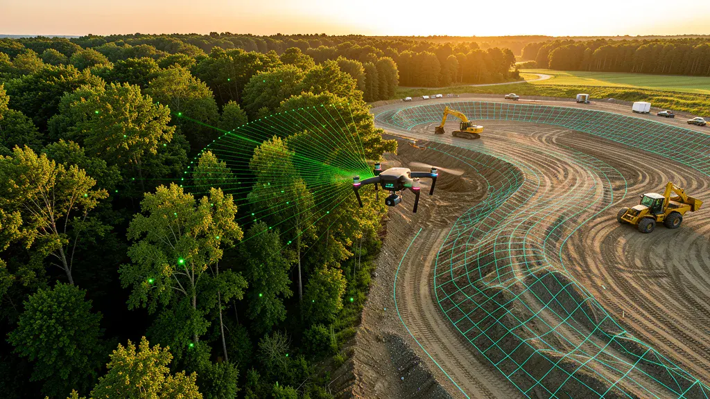
LiDAR vs Photogrammetry Wizard
Find the right capture method for your accuracy and site needs.
Aerial Imaging vs traditional ground-based methods
Side-by-side comparison of accuracy, cost, speed, and deliverables.
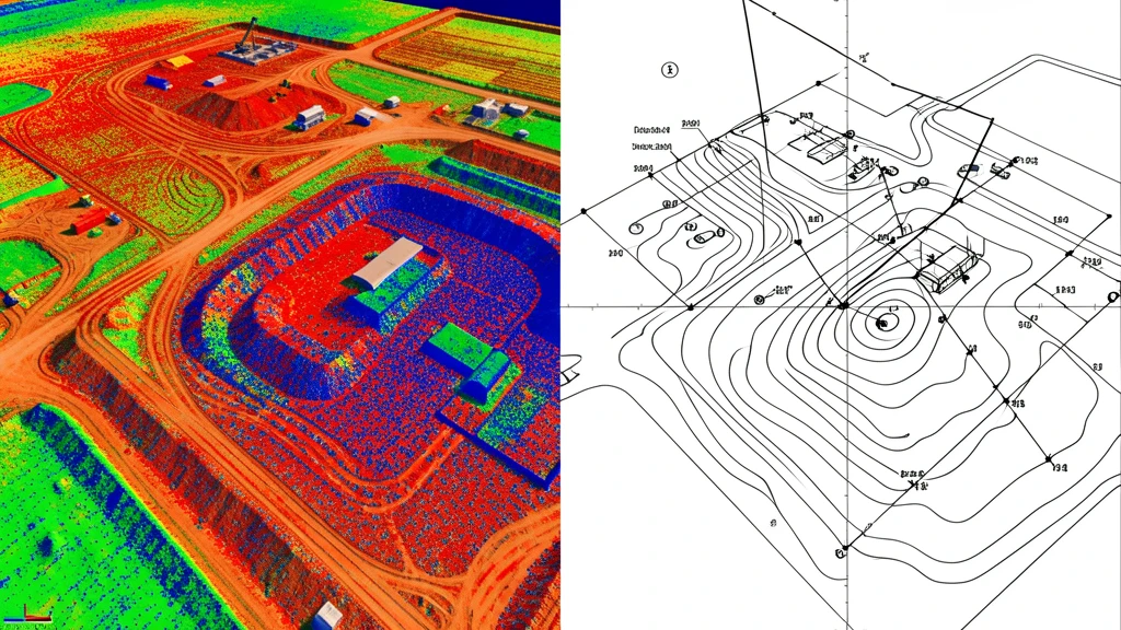
Buyer's Guide
How to evaluate aerial imaging providers, deliverables, and pricing.
Find Local Operators
Browse 625+ cities with local FAA-certified operators.
Our Services
11 aerial imaging service categories for any project.
How It Works
Submit, get matched, compare quotes. Three simple steps.

For Drone Operators
Join our network and get matched with local projects.
ROI figures and savings estimates are based on industry averages, marketplace data from 625+ cities, and published research comparing drone and traditional ground-based methods costs. Actual results vary based on site access, terrain complexity, vegetation density, required accuracy, project scope, operator availability, and local market conditions. These estimates are for planning purposes only, are not guaranteed, and do not constitute a binding quote or financial projection. Contact AeriusView through the form above to get accurate project quotes from local FAA-certified operators.